
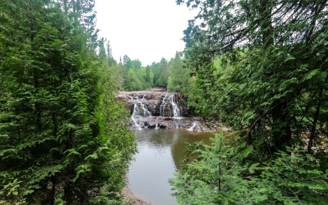
Gooseberry Falls State Park is a 3 hour hike, 1 hour bike ride, or an 11 minute drive from our front door, and is a guest favorite. Aside from the famous 5 waterfalls, there are miles and miles of trail through diverse forest, the Gooseberry River and gorge, and access to Lake Superior via Agate Beach. We’ve been seeing dramatic photos dry areas of Gooseberry Falls in Social Media this week, so we thought we’d take a break and visit the waterfalls to see for ourselves. What we found was that just like the rest of Minnesota, Gooseberry Falls State Park is showing the results of our dry summer.
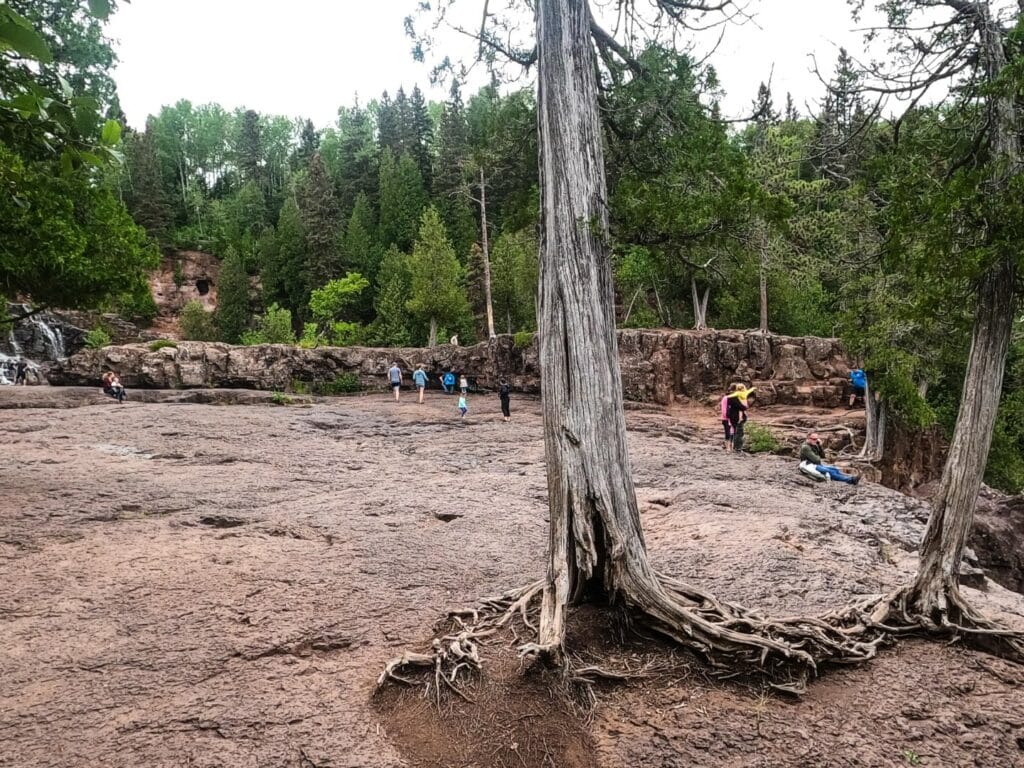
The decreased flow of Gooseberry River has not however, interfered with visitor’s enjoyment of the park. Park officials and long time visitors report that the areas of the riverbed and falls that are dry are normally this way when rainfall is scarce. When the rain returns, so will the powerful river and falls that we are accustomed to.
-
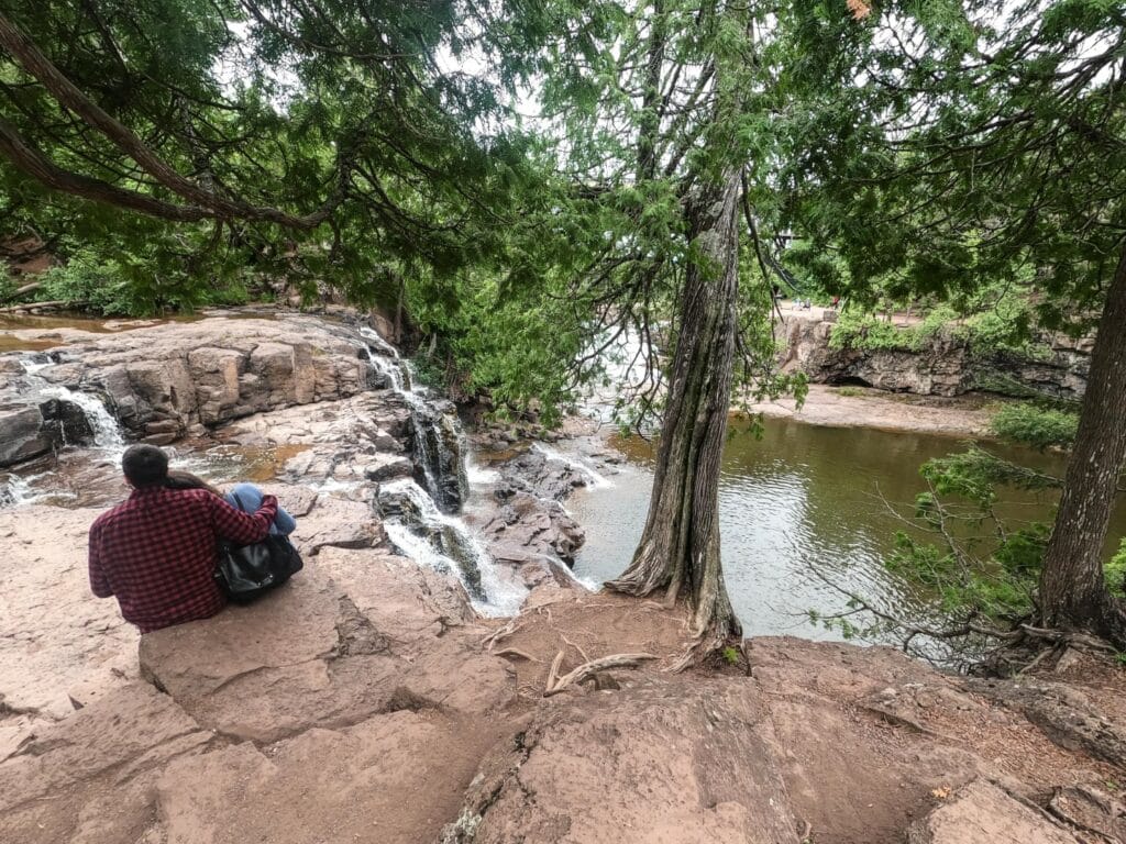
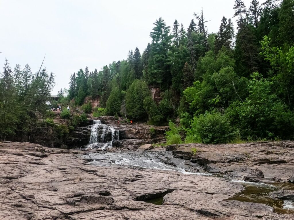
- The Middle Falls
-
- The Middle Falls
This is a unique opportunity to get up close and personal with the geology of Gooseberry Falls. The Falls were formed over a period of 20 million years that began 1.1 billion years ago by lava flows from a rupture in the earth called the Mid Continent Rift. These lava flows stacked on top of one another to form a layer of basalt that is 20 km thick. These layers are now very visible in the exposed rock of the waterfalls.While we didn’t venture to the more secluded waterfalls up river, we were happy to see that the Upper and Middle falls were still flowing.
-
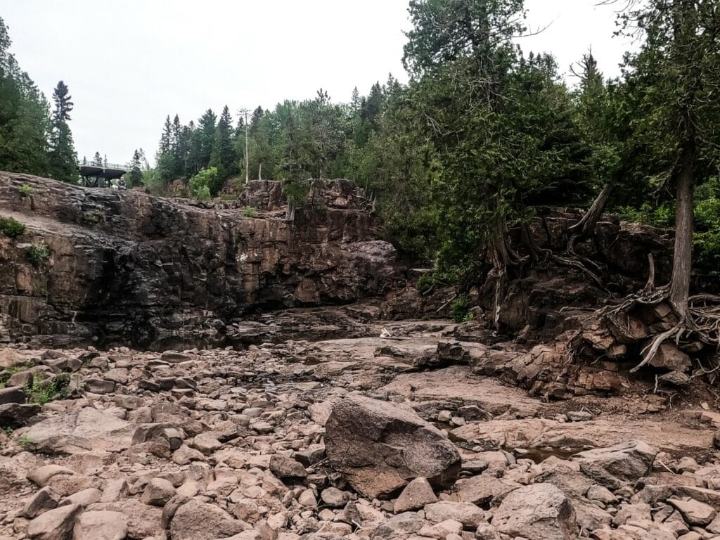
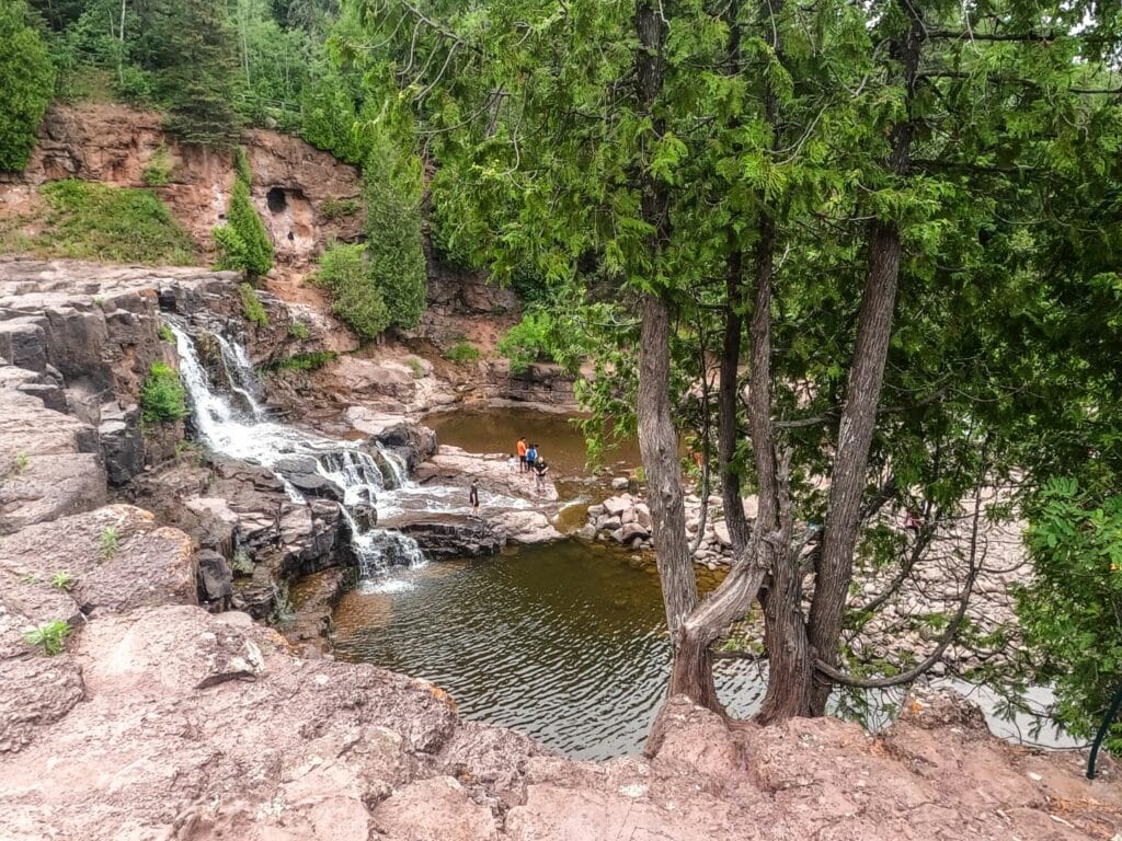
- The western portion of the Lower Falls on 7-21-21
-
- Gooseberry Riverbed, portion of the Lower Falls
Moving down the river gorge, we found the exposed riverbed of the western portion of the Lower Falls. What we also found were people, exploring, observing, playing, and simply enjoying moments in places they normally wouldn’t have access to. The eastern portion is still flowing, and gooseberry river gently curls around the wide riverbed to continue it’s journey toward Lake Superior.
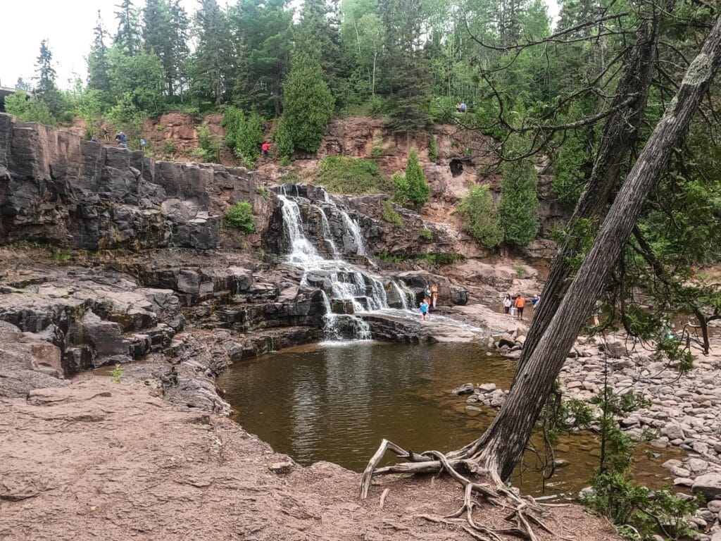
The eastern portion of the Lower Falls on 7-21-21
Recent Comments